
 CITY
CITY News Opinion
 Tourist Route
 The students here
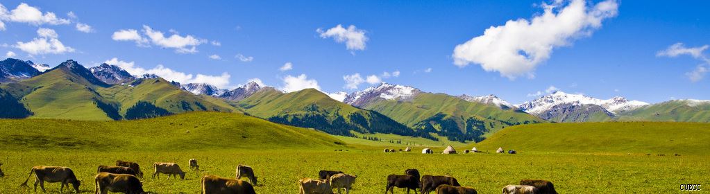
Study in Turpan,Xinjiang Autonomous Region
...........................................................................................................................................

Location: located between 4215' - 4335' north latitude and 8829' - 8954' east longitude; lies in the Turpan Basin at the southern foot of the Tianshan Range in the eastern part of Xinjang; a key point on the ancient silk road
Neighboring areas: Gansu province and Qinghai province, Tibet Autonomous Region
Physical Features: surrounded by Mt. Bogda, Mt. Karawuquntag, Mt. Jueluotag and Mt. Kumtag in four directions respectively
Population: 400,000
Urban Population: 200,000
Area: 69,700 sq km
Nationalities: Han, Hui and Uygur
History: called Gushi in ancient times; the place where the State of South Cheshi and the South Cheshi Court were set up during the Han dynasty; establised as Gaochang Prefecture where Tiandi County were set up during Liang dynasty; founded as the State of Gaochang during the Northern Wei dynasty; renamed Xichang prefecture during the Tang dynasty until 1913, Turpan County was established.
Climatic Features: extremely hot summers with low rainfall but high evaporation; long frost-free period and gusty winds; in central area, the tiptop temperature of 47C
Mountains: Mt. Bogda, Mt. Karawuquntag, Mt. Jueluotag, Mt. Kumtag
Rivers: Hungliu River
Products: wheat, sorghum, cotton, grapes, peanuts, oil-bearing crops, melon and vegetables
Local Highlights: grape, hami melon, long staple cotton
 Chinese
 English
 Korean
 Japanese
 French
 Russian
 Vietnamese